Current state of greenery in record time
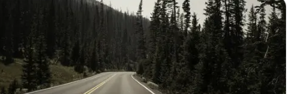
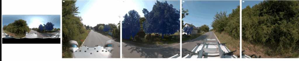
Roadside.vision identifies and assesses trees using remote sensing (camera/lidar on a car) or an existing database of panoramic road images (similar to Google StreetView). The analysis is handled quickly and reliably by AI thanks to machine learning. This is a very fast solution, and a bonus is a transparent price per km of road, not per number of trees.
- Easy work planning for greenery management
- Timely care for high-risk trees for road management
- Affordable and fast greenery inventory for cities
We locate and identify individual trees near the road with almost 100% certainty; in municipalities, our success rate is 90%.
Who benefits from roadside.vision?
Practical example:
To issue a public tender for tree maintenance, trees must first be counted and surveyed. However, arboricultural companies providing these services typically price their work based on the number of trees (usually 5-10 EUR per tree, as revealed by discussions with several road authorities), a figure that is not known at that time.
Regions, cities, and municipalities have a legal obligation to maintain an overview of their assets and care for them properly. They primarily record green infrastructure for efficient management, protection, and maintenance. This includes planning care, such as pruning or planting, and preventing risks to traffic and safety. This record-keeping is crucial for fulfilling legal obligations and strategic planning for green infrastructure development.
- Green Infrastructure Management: Efficient planning of maintenance, pruning, and planting.
- Arborists: Focus on selected high-risk sections, saving field time.
- Road Administrations: Early detection of hazardous, diseased, or old trees.
- Cities and Municipalities: Cheaper and faster creation of green infrastructure inventories, data for spatial plans and subsidies.
- Public Tenders: Transparent pricing based on kilometers, not tree count.
What information do you get with roadside.vision?
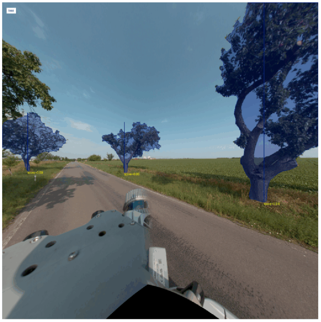
Detection of existence
- Freestanding trees
- Built-up area (municipality) – 91% sensitivity, 16% error rate
- Outside built-up area (outside municipality) – 99% sensitivity, 1% error rate
- Groups of trees and continuous stands

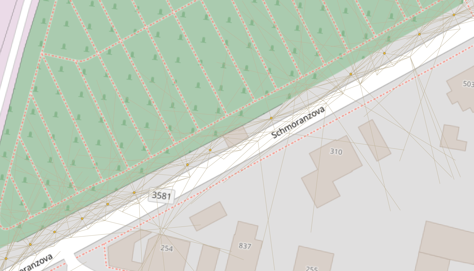
Location
(average error +-20cm)
- Location in space, where exactly the tree is located
- Distance from the edge of the road
Genus and tree parameters
(average error +- 15%)
- TOP 3 genus predictions
- Tree height
- Trunk diameter
- Trunk circumference
- Crown diameter, wood volume upon request
Indication of health and safety
(80% accuracy)
- Vitality – 65% sensitivity
- Health – 60% sensitivity
- Stability – 20% sensitivity
- Safety – 20% sensitivity
Are you looking for a fast, accurate, and detailed analysis?
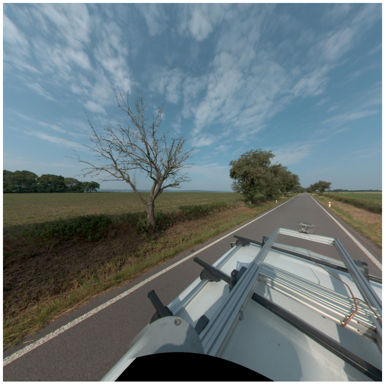
You either have current data of your own (collected on another occasion for a different purpose—e.g., during signage inventory, parking enforcement, etc.), or we can arrange the data collection for you.
For highly accurate and detailed analysis, high-quality data is required:
- Precisely defined area for analysis
- driver and vehicle
- precise GPS
- High-resolution camera, mounted on a car
Do you not require such a level of detail and certainty?
If basic information and photo documentation are sufficient for your needs, e.g., for quoting arboricultural work, we can utilize an existing database of panoramic road imagery, similar to Google Street View. However, it is necessary to take into account the age of the data and its lower quality.
We bring nature closer to people through technology.
kindwise (formerly FlowerChecker, founded in 2014) uses both human expertise and machine learning to develop a range of nature-focused products:
