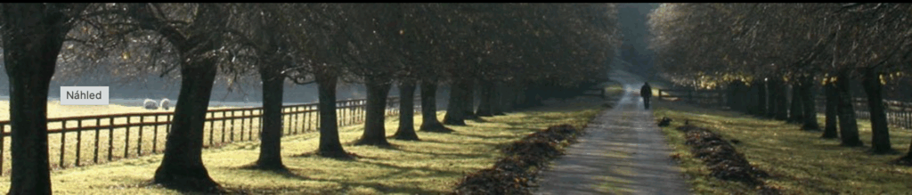
Region & Trees:
The Results
How can a city, region, or road administration obtain an up-to-date overview of the state of vegetation in record time? With roadside.vision, it is very simple. See for yourself and watch a short practical demonstration.
Long story short:
3 days. 200 km. And 10,000 surveyed trees.
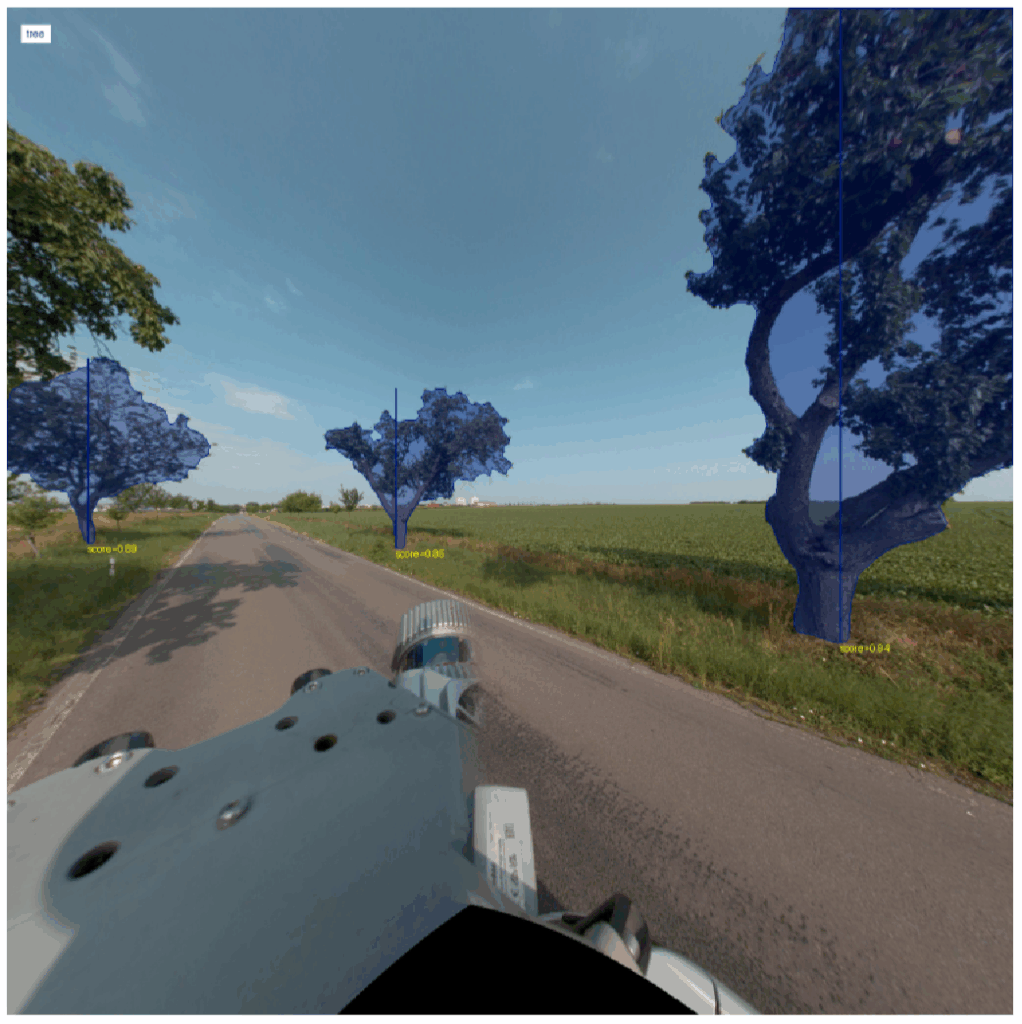
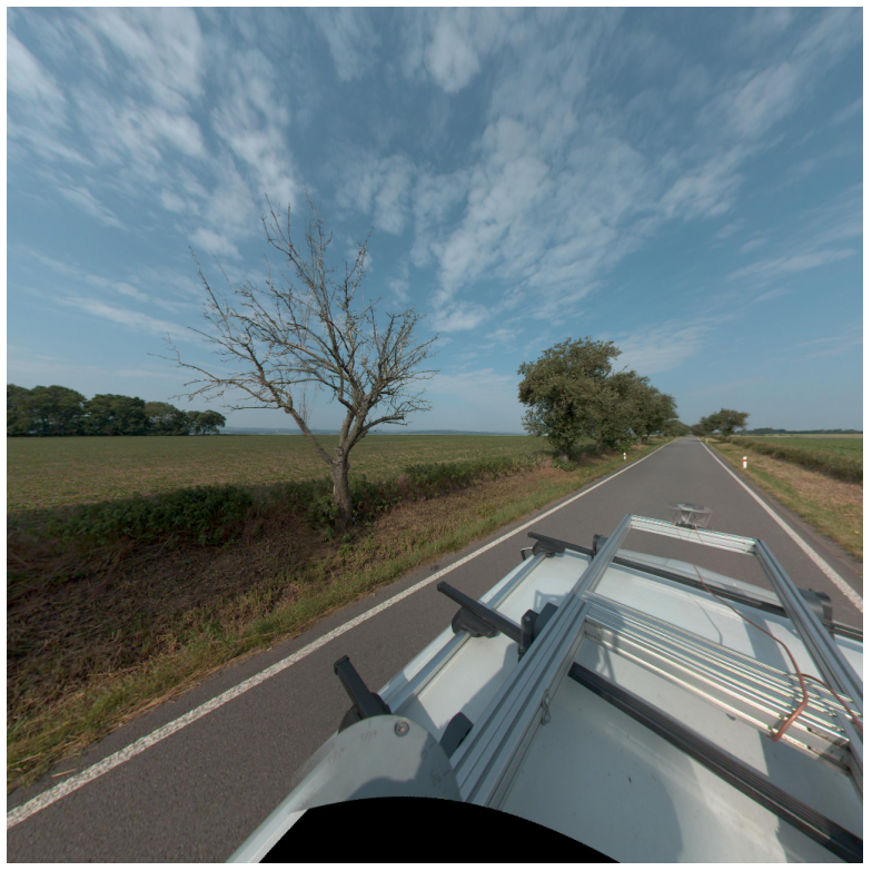
While vegetation—especially trees—is typically surveyed and subsequently assessed by field workers, roadside.vision utilizes remote sensing methods (vehicle-mounted camera/LiDAR) or existing databases of panoramic road imagery, similar to Google Street View. The analysis is then handled quickly and reliably by AI thanks to machine learning.
With almost 100% certainty,
we locate and identify individual trees along roadsides,
achieving a 90% success rate in urban areas.
roadside.vision in numbers
Spoiler alert:
Transparent pricing based on road kilometers, not tree count.
A unique advantage for public tenders.
During 9 hours of driving with a roof-mounted camera,
225,000 photos were generated,
and in just 2 additional days,
a complete overview of nearly 10,000 trees was available,
along roughly 200 km of roads.
What information does roadside.vision provide?
Detection of existence
- Freestanding trees
- Built-up area (municipality) – 91% sensitivity, 16% error rate
- Outside built-up area (outside municipality) – 99% sensitivity, 1% error rate
- Groups of trees and continuous stands

Location
(average error +-20cm)
- Tree positioning – knowing its exact location
- Distance from the edge of the road
Genus and tree parameters
(average error +- 15%)
- TOP 3 genus predictions
- Tree height
- Trunk diameter
- Trunk circumference
- Crown diameter, wood volume upon request
Indication of health and safety
(80% accuracy)
- Vitality – 65% sensitivity
- Health – 60% sensitivity
- Stability – 20% sensitivity
- Safety – 20% sensitivity